

The site of Umm er Rasas was built as a military camp of the unity of the Arab cavalry auxiliary troops of the Roman army, under the command of the Dux Arabiae. From the V century AD, the castrum turned into a town.
In the Byzantine period, the site reached the peak of its urban development with civil houses built inside and outside the walls and the dozen of churches which were beautifully paved with floor mosaics at the time of Sergius, bishop of Madaba, at the end of the VI century AD. The long term aims of the ITABC project on this UNESCO World Heritage site are: to complete the documentation in order to enrich and deepen our knowledge of a so great and important archaeological site; to create a valuable and elaborate tool which will be useful for the conservation, the fruition and for the tourist development of the area.
The implementation of a process aimed at increasing quality tourism, it will see the creation of a permanent training school addressed to local staff and focused on new technologies for the cultural heritage.
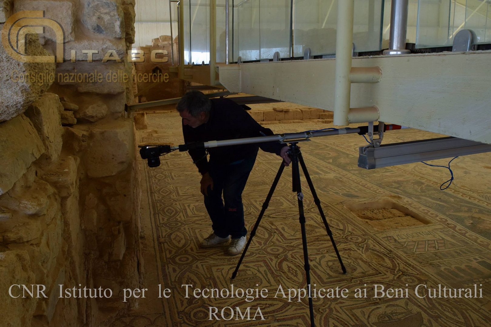
Per la realizzazione di tutta la documentazione si è proceduto utilizzando una serie di tecniche e metodologie investigative diverse (modelli) […]
Una corretta descrizione delle deformazioni pavimentali è stata invece ottenuta tramite l’acquisizione Laser Scanner, con una trentina di acquisizioni per […]

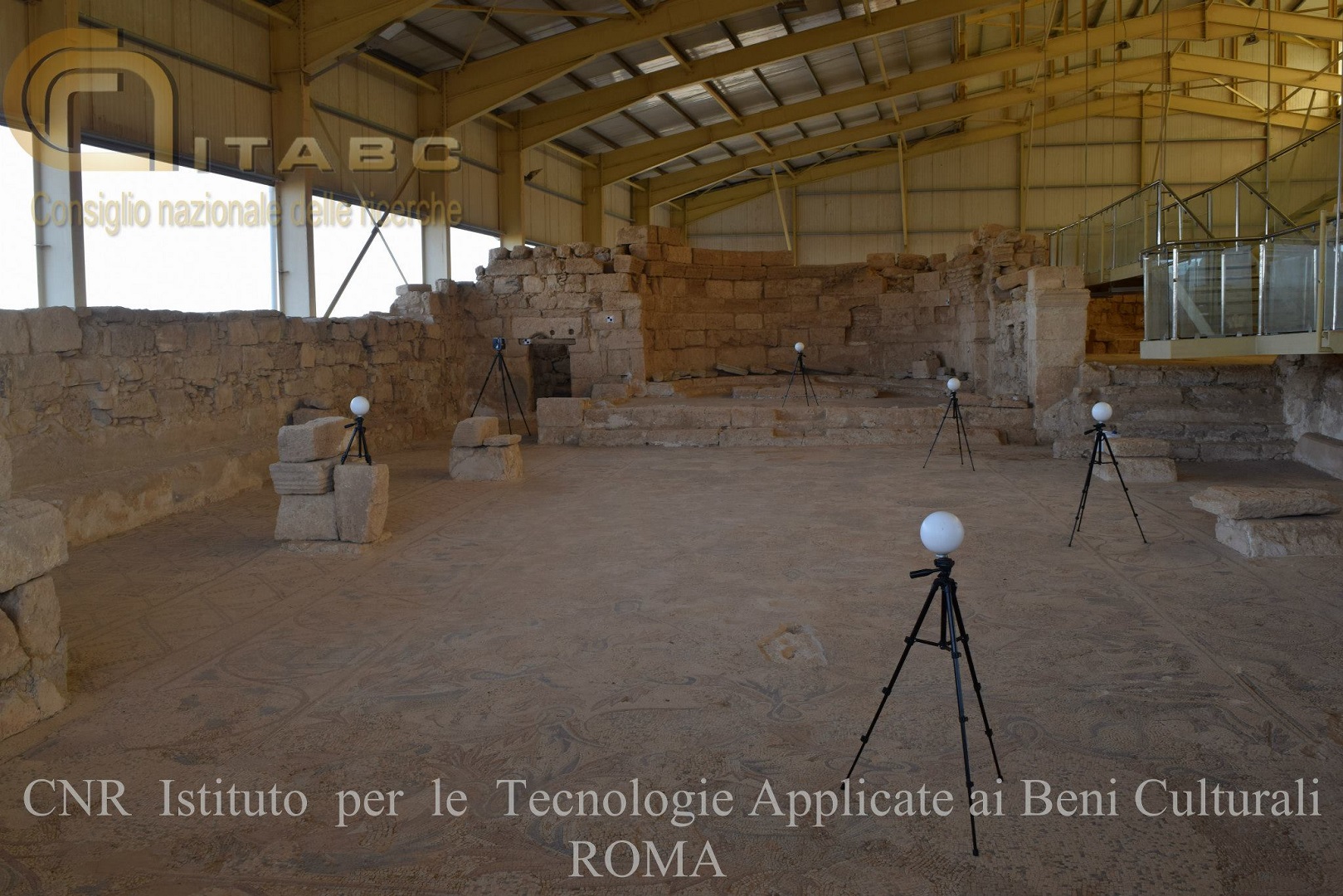
Campagne di rilevamento 2013-2016 Per ogni obbiettivo sono state scattate una serie di fotografie della medesima area campione su cui […]